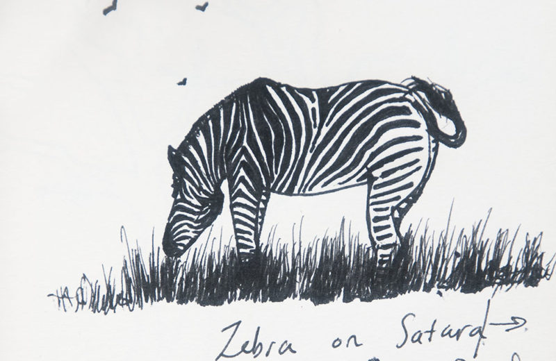
Wed 19th Dec
That great camp Satara which is usually our favourite has not been at its best. With no sizeable rivers in the area heat and drought restrict one’s options and so we are pleased to pack up and head south.
We leave Satara camp at 4.40am and make uneventful progress down the main road to Skukuza. South of the Kumane Dam we are sorry to see the giant Sausage tree that was a central feature of a very beautiful Kruger scene, has keeled over. See below the before and after photos.


Approaching the Sand River it is very evident how little rain has fallen in this area which is drought stricken. Notwithstanding, both the Sand and Sabie rivers are flowing strongly indicating good rain along the escarpment to the west.
We quickly settle into a good campsite and set up before the predicted 42 degree heat sets in. We cool off in a green and slimy pool. After visiting Hwange in Zims in September and noting real decay, I vowed to overlook Kruger’s blemishes. But I do have to bite my lip when I think that Kruger in SA’s flagship tourist destination and yet basic maintenance is neglected. Oh dear.
The temperature soars to 42 degrees C today and we cower in the caravan. At 5.15am we venture out again and wander down the Sabie River road (H4-1). What an awful scene meets us. The ground is parched dry and far into the bush there is not a single blade of green grass. Skukuza missed completely the rain 10 days ago that Lower Sabie and Satara enjoyed. Africa can really be so harsh and Kruger in particular seems to swing from violent flood to searing heat and drought. The temperature is set to fall during the night with the arrival of the cool south wind and we intend to travel on the Salietjie (S30) in the morning.
Thurs 20th Dec
As predicted, the south wind arrives at midnight but I have taken precautions to secure our awning. We leave camp at 4.30am at the tail end of a long queue and make our way down a dark Sabie river road (H4-1). Heavy clouds are coming in from the south and thunder and lightning is incessant,
From the high level bridge over the Sabie we can see heavy storms over the escarpment to the west. It begins to rain as we enter the Salietjie road but not hard. Where the road leaves the river we see a ratel ahead whereupon we turn and come back to our normal breakfast spot at the Nwatindlophu confluence. From here we can see what looks to be a heavy storm over the Skukuza area. Which proves to be the case because on arrival back in camp we find that a deluge has raged through the campsite. Fortunately I angled our awning to prevent any damage. Later at the reception desk I ask how much rain fell but receiving blank looks I went about camp trying to find someone who had recorded it. I was recommended to try the Museum and Library as the librarian’s job it was to record the weather.
Which gave me a good reason to go about this very well presented Museum where I photographed items of interest. So interesting was it that I will compose and post a separate Historical post. Needless to say, the librarian knew nothing about weather records and could not help me further. Back in camp an ex-Parks Boarder bemoans the collapse of management in Kruger which I will agree with. Incredibly and despite my strong complaints over the years, MTN data coverage in the Park is weak to non-existent. BUT…. the good news is that the animals and birds thrive on neglect – which is why we come here so I must get over the poor management.
For lunch we visit the restaurant on the deck over the river where we enjoy a very tasty meal. We engage a UK couple in conversation and learn that they have built a retirement home in Marloth Park down near Croc Bridge. They give us the very good news that Croc Bridge had very heavy rain last night and this morning.

Take note of the giant sycamore fig growing behind the umbrellas and compare this to the photo below of the same tree taken in the 50’s.

This afternoon from curiosity I go off to the new hotel and although construction looks complete it is still sealed off from the public. I manage a photo of the styling through the gate.

I suppose that drawing delegates from overseas to such a great venue is a good thing for the country but it does make Skukuza all that more congested. On a whim, I explore the staff village noting the very good cricket field, a church, a primary school, the golf course – in fact a very well appointed small town. I end up at Lake Panic and quickly walk down to find that the water level is higher than last time I was there but still very low with a lot of muddy water to the right. As soon as the weather settles I will be there.
As I write this in the evening, dark clouds are rolling in from the south and a little rain is falling. Here is hoping that this crippling drought is at an end. After three days of +40 degrees C we are enjoying a little rest and recovery and have not gone out.